Our company has expanded into the field of aerial surveys and has integrated photogrammetric measurement technology into many projects in a unique manner.
Our company is at the forefront of implementing this technology and is one of the only service suppliers that make these advanced surveying methods available in the engineering field.
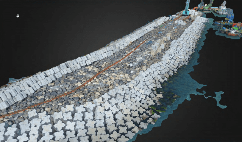
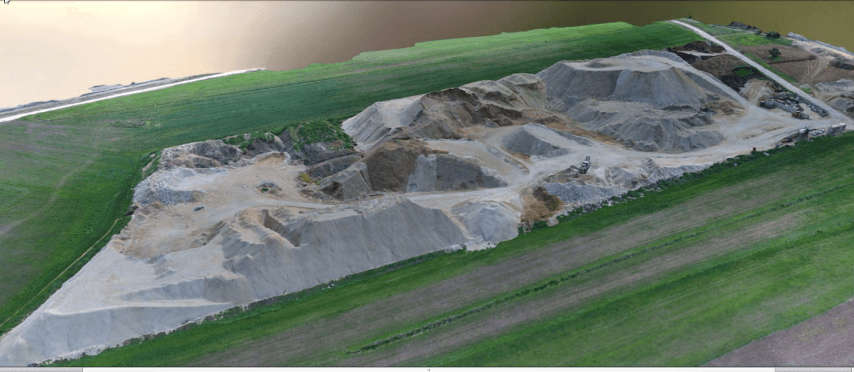
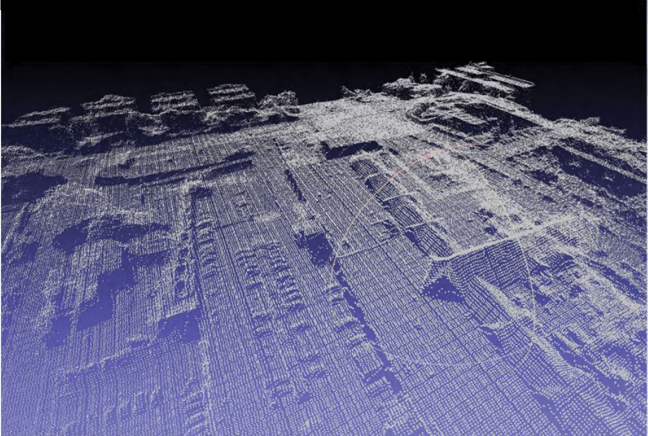
These surveys enable the production of models with a high level of detail for areas of any size, large or small.
Project monitoring: An added value of drone activation for the purpose of measurements is the ability to provide detailed monitoring services for engineering projects.
Whenever we’re discussing a once-in-a-term checkup, advancement or delivery reports, or the documentation of receiving areas from the client, the advantages of using aerial devices for projects are well known.


